Pothole at 42.53 N 71.23 W
Submitted Wed Jul 02, 2025
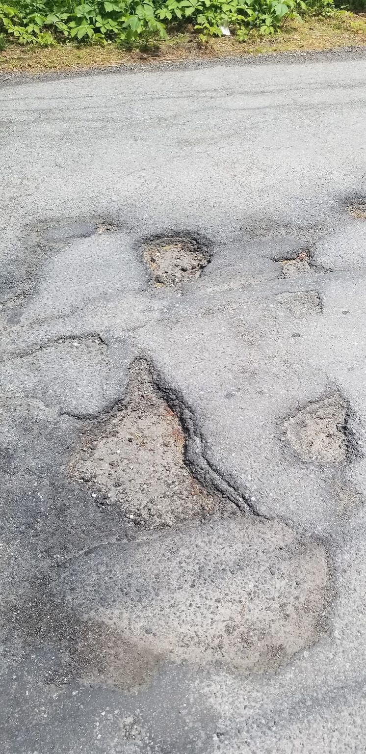
Several sections with horrendous potholes that are unavoidable on Riverbank Terrace.
Nearest Cross Street: Between Grammy Cirle and Duncan Drive
Location on Street: Roadway
address: 42.53 N 71.23 W
coordinates x,y: 729038.336789612, 3016621.6867946605
coordinates lat,lng: 42.52544406458946, -71.22967060326478
| Timestamp | Description |
|---|---|
| Tue Jul 01, 2025 10:27pm |
Submitted via iPhone |